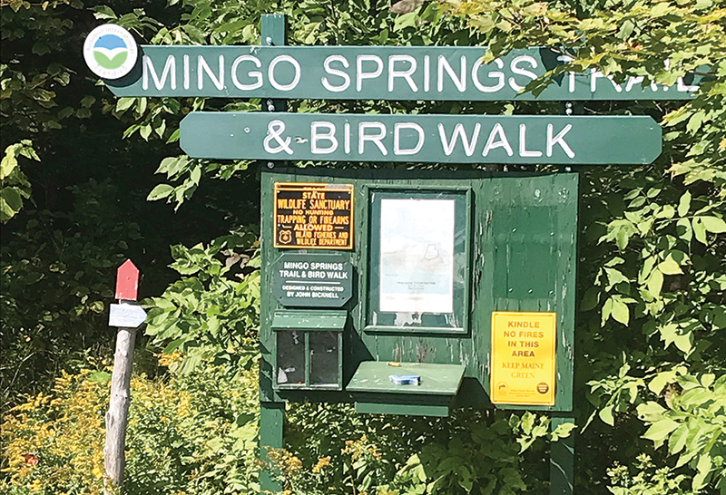
Signage at the trailhead of Mingo Springs Trail and Bird Walk at Mingo Springs GC in Rangeley, Maine. Photos by Kyle Ladd
When it comes to championing golf’s role in environmental stewardship, the staff at Mingo Springs Golf Course in Rangeley, Maine, walks the walk.
Literally.
Mingo Springs GC, an 18-hole, semi-private course carved into a hillside of the Rangeley Lakes region, features a three-mile trail and bird walk around and through the course, built with the help of and maintained by the course’s golf maintenance
staff.
“I’d say we have, on average, probably 20 people a day walk it,” says Kyle Ladd, Mingo Springs GC’s GCSAA Class A superintendent and 22-year association member. “We see people with the whole family — kids, dogs —
the whole works. We have a parking lot just for the place. That’s how popular it is.”
The trail was the brainchild of John Bicknell, an Air Force veteran and sled dog racer with a degree in forestry who moved to Rangeley in 1973. He served as Mingo Springs GC’s gardener until 2017, a year before his death.
“(Bicknell) had a keen interest in the outdoors,” says Ladd, a native Mainer who has been at Mingo Springs for 14 years. “As our gardener, he created all these tremendous flower gardens and stone walls. He found out about Audubon International
and the program for golf courses, and he made it his mission to bring us into that.”
The trail and bird walk was a big part of the course’s application to become a Certified Audubon Cooperative Sanctuary. It was roughly a three-year project, and Ladd says the course earned its certification in 2011. It is one of only six Audubon-certified
courses in the Pine Tree State.
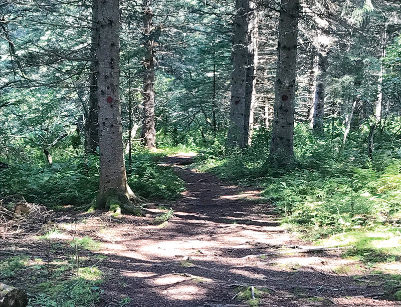
A view down the trail at Mingo Springs.
“It was his baby,” Ladd says. “My only thing was support and maintenance.”
It’s not a timesuck. The Mingo Springs maintenance staff strives to work only half days on Fridays, and in the early days of the trail, staff would spend the second half of many in-season Fridays on the trail, cutting trees and hauling shale to
make it more accessible.
“It’s probably six to eight man-hours a month. It’s not a huge investment now,” Ladd says. “It used to be every week, 20 to 25 hours.”
The trail consists of two loops, with roughly two miles around and through the course’s back nine and another mile around the front. It winds through softwood and hardwood forests, wetlands, a vernal pool that is home to several amphibians, and
open fields, including a 35-acre lupine meadow. The trail surface is mostly packed dirt and grass, with some crushed shale.
It features three footbridges, benches and “fairy gardens” and “gnome homes,” which are collections of wood, glass and rock assembled by local children at the bases of trees and made to resemble what might serve as houses for mythical
forest folk.
During the build, Bicknell had the foresight to oversee the installation of signs identifying some of the landmarks and many of the species of flora and fauna.
“It’s a different environment here in Rangeley,” Ladd says of the western Maine community that lies about 20 miles from the Quebec border (that’s crow-flying distance; a serpentine drive to the nearest Canadian town takes over
an hour). “Everything here in Rangeley is all about the outdoors and recreation — hunting, fishing, boating.”
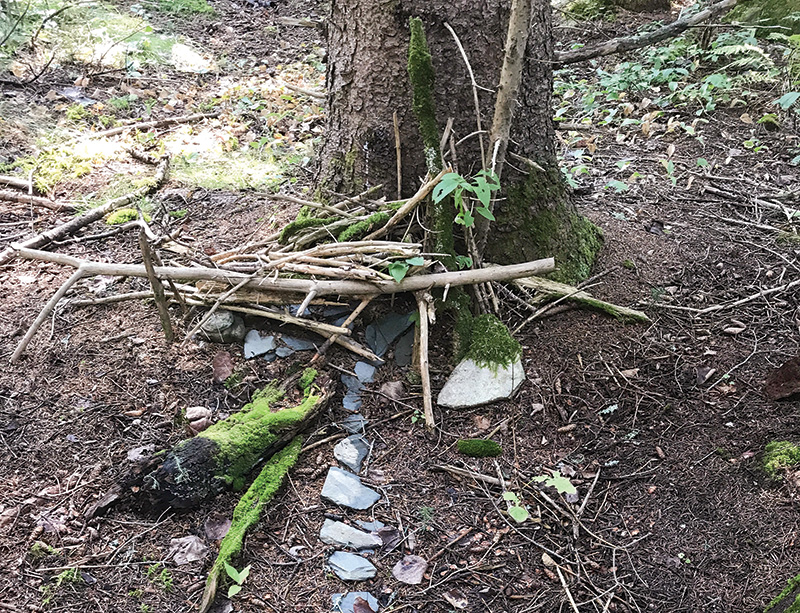
A youngster's trail-side "gnome home" decorates the Mingo Springs Trail and Bird Walk.
And birding. Rangeley — pop. 1,200 year-round, Ladd says, though that swells to over 10,000 in the summer — sits on the southern fringe of the northern boreal forest, so many boreal species can be spotted there, as well as migrating species
that stop over.
“Every year, a certified bird expert organizes a bird walk, and people come from all over,” Ladd says. “He takes them through, and they tick birds off the list they want to see.”
Though the course is only open May 15 through Columbus Day, the trail is open year-round, even in winter, when the region gets 100 inches of snow. In the winter, the trail is diverted over the golf course to avoid a road that otherwise would force snowshoers
and cross-country skiers to take off equipment.
Students from a local school used GPS to map the trail; those maps are available online. Maps, as well as restrooms, food and beverage, are also available at the pro shop in season.
“No money comes in because of this. The money just goes out,” Ladd says. “But for the family that owns this, it’s very important, to them and the community.”
Andrew Hartsock is GCM’s senior managing editor.